
Transportation to and around Winter Park, CO
Winter Park Transportation Options
Getting to and around Winter Park, CO is a snap. Located just 70 miles from Denver and situated right on US Highway 40, Winter Park one of the most accessible mountain resort towns in central Colorado. Needing a transfer from Denver International airport, or a taxi ride home from a night out on the town? There are plenty of transportation options in Winter Park that promote ease of driving, or even a car free vacation.
Need additional details on how to get to Winter Park? Check out our blog on Three Easy Ways To Get To Winter Park.
-fuf4bnbz-20221116-130419-5F643D7A-AD4E-496D-B8B3BF53BC1F4C80.png)
Alamo Car Rentals
Need to rent a car from Denver Internation Airport to get to Winter Park? Save up to 15% with Alamo once you've booked with us. Just give us a call at 970-722-0707 x2 to add a discounted rental car onto your reservation.
Homes James Airport Shuttles
Home James Transportation is the easiest and most reliable transportation service from Denver International Airport to Winter Park. They have van shuttles heading to Winter Park at least every two hours, and will drop you off right at the door of your vacation rental.
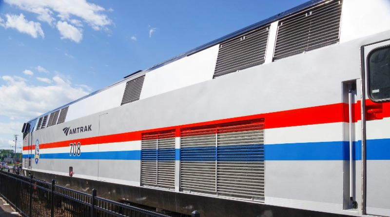
Train Service to Winter Park
Amtrak provides a daily train service to Winter Park from Denver's Union Station via the California Zephyr Line. Visitors can also take the A-Line train from Denver International Airport and connect at Union Station. When you arrive take advantage of The Lift or Grand Mountain Rides.

The Lift Shuttle Service
The Lift is Winter Park's free shuttle service that serves Winter Park Resort, town of Winter Park and Fraser, plus twice daily service to the town of Granby. Click your device of choice to download the free Lift Rider App for route information, shuttle times and live map tracking. .